
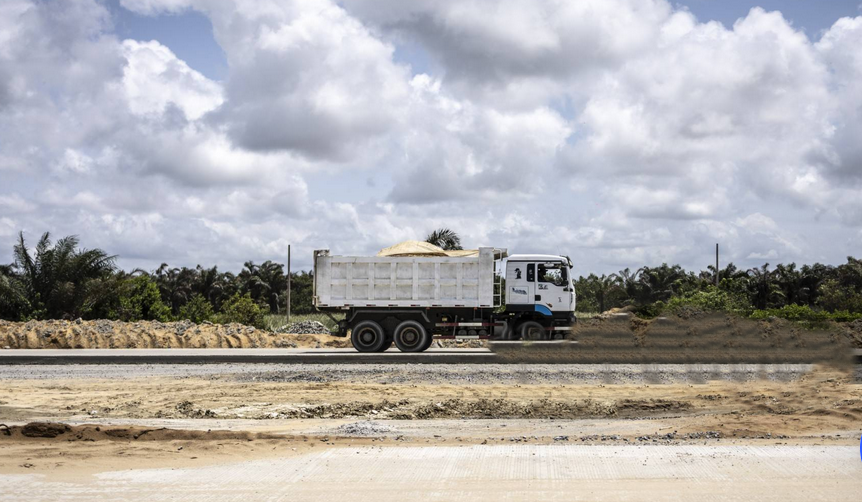
The Federal Government has commenced construction on the monumental $12 billion Lagos-Calabar Coastal Highway, a 700-kilometre engineering masterpiece designed to connect nine coastal states and significantly boost national commerce. However, this historic infrastructure development faces critical engineering and ecological hurdles, navigating a delicate line between economic expansion and severe climate vulnerabilities along the Atlantic coast.
Infrastructure versus climate reality along the Atlantic shore
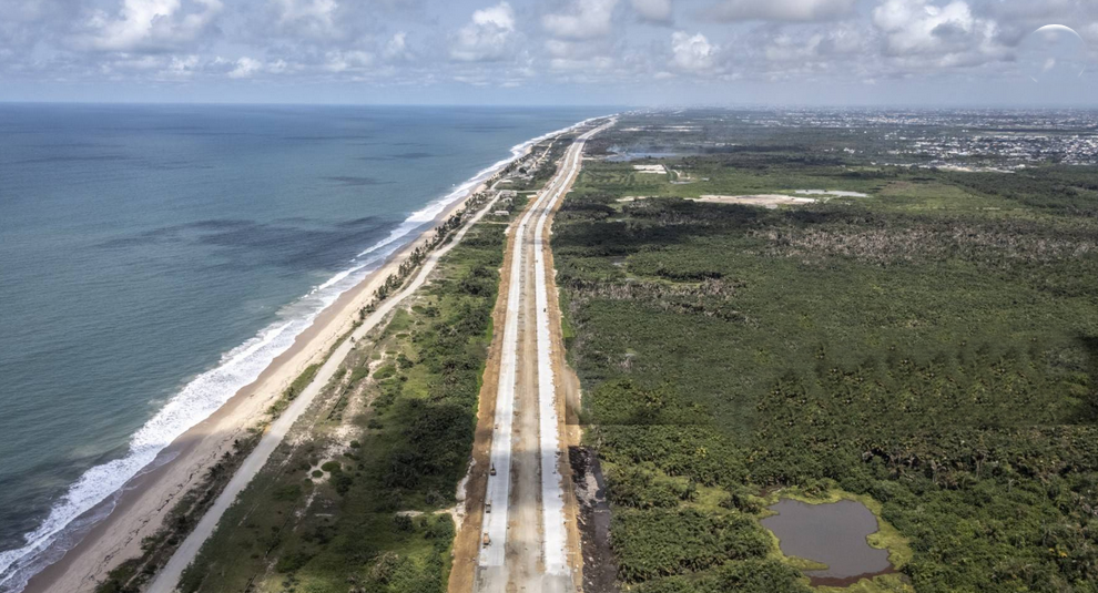
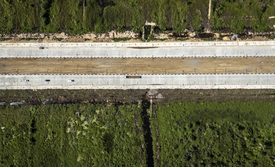
The proposed six-lane mega-road is uniquely positioned to transform logistics across Nigeria’s southern corridor. Spanning from the commercial hub of Lagos to the port city of Calabar, the route is actively traversing low-lying mangrove swamps and intricate tidal channels.
Engineering consultants have raised urgent warnings regarding immediate climate threats to the corridor. Notably, there are no offshore barriers or natural mangroves along the first 60 kilometres of the opened highway. This structural exposure has led experts to recommend the immediate construction of specialized sea walls and natural barriers to curb aggressive coastal erosion.
Vanishing shorelines disrupt local communities
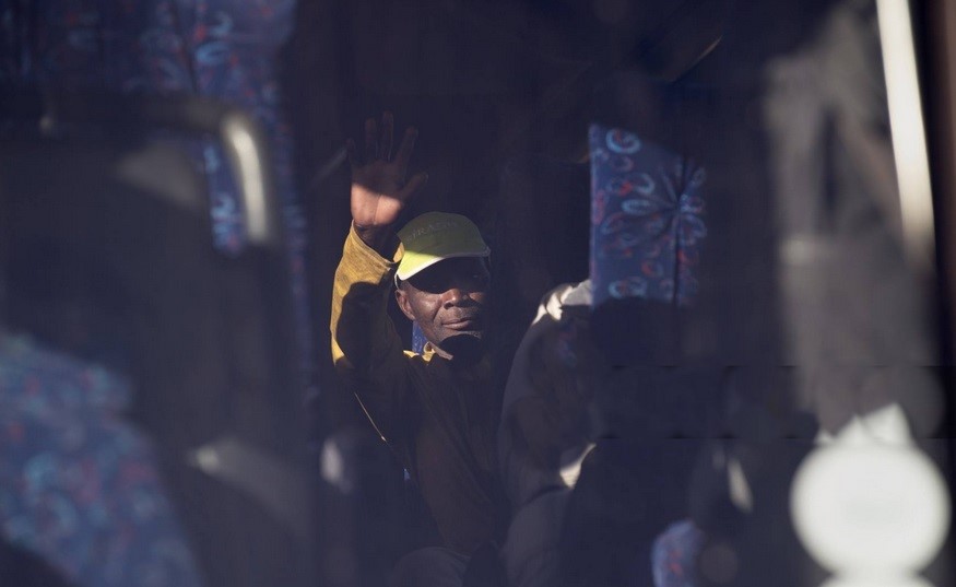
Local communities are already witnessing the physical realities of ocean encroachment directly along the path of the highway. The advancing waves continue to reshape the immediate geography of the construction zones.
“Two decades ago, the shoreline was a considerable distance away from our community,” observed Lukmanara, a local fisherman operating about 30 kilometres from the road’s start. “Today, the ocean has receded significantly, bringing the water dangerously close to our doorsteps.”
The ecological footprint on Stubbs Creek Forest Reserve
Beyond the advancing ocean, the highway’s alignment cuts directly through the heart of the Stubbs Creek Forest Reserve in Cross River State. As the largest protected area in the state, this reserve serves as a critical sanctuary for various endangered species.
Environmental assessments reveal that constructing the highway through this reserve will result in a net release of greenhouse gases, projected to emit 3,511,562 tonnes of CO₂ equivalent (CO₂e). This ecological footprint occurs at a time when Nigeria has already lost 9% of its total forest area since 2000, alongside a 14.3% decrease in national tree cover area between 2001 and 2024.
Fast facts: The Lagos-Calabar coastal highway project
| Project aspect | Metric / Status |
| Total estimated cost | $12 Billion USD |
| Length and route | ~700km traversing 9 states from Lagos to Calabar |
| Forest area lost since 2000 | 9% decrease nationally |
| Projected carbon emissions | 3,511,562 tonnes CO₂e |
| Trees expected to be cut | [VERIFY: Number of trees to be cut] |
| Estimated national emission share | [VERIFY: Exact national emissions percentage] |
Global climate responsibility and national development
The project underscores a wider global irony often highlighted by African leaders. The continent continues to face the most severe impacts of climate change despite maintaining a minimal historical contribution to global greenhouse gas emissions.
The Social Call-to-Action (CTA)
What is your take on the Lagos-Calabar Coastal Highway? Should national economic connectivity take precedence, or should the design be modified to preserve our protected forests and coastal communities? Share your views in the comments section below or join the debate on NTA’s official X and Facebook handles using the hashtags #LagosCalabarHighway and #NTADigital.